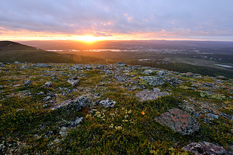
Dundret is located near the centre of Gällivare and is an easily accessible mountain for those who want to discover and experience its alpine character. With its 820 metres above sea level, Dundret reaches far above the tree line and is an excellent place for both skiing and hiking. The midnight sun lights up the peak for an entire month in summer. Dundret is a nature reserve, and out of the 200 seed plants found on the mountain, 30 are real alpine species such as red alpine catchfly, Lapland lousewort, purple mountain heather and pincushion plant. From the top, you can see both the Sarek mountains and Kebnekaise in clear weather.
How to get here: Dundret is just southwest of Gällivare town centre. You can reach the reserve via roads extending from route E45.
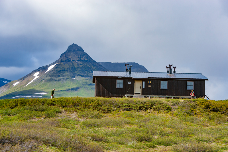
Pältsa is Sweden’s northernmost high mountain and lies at the border with Norway, west of the Three-Country Cairn. Pältsa has three peaks; the middle peak is the highest with its 1,444 metres. The peak itself is very flat and consists mainly of a single rock field, but the sides are more or less steep. South of the Pältsa massif, you can find Sweden’s northernmost STF mountain hut: Pältsastugan. Several hiking trails pass through the area. The Three-Country Cairn is around 14 km away in a north-easterly direction from Pältsastugan.
How to get here: In summer, the easiest route is via Norway and the valley Signaldalen, or from Kilpisjärvi if you take a boat trip for the first few kilometres. From the landing, at Koltaluokta, there are some 14 kilometres left to hike to the cabin.
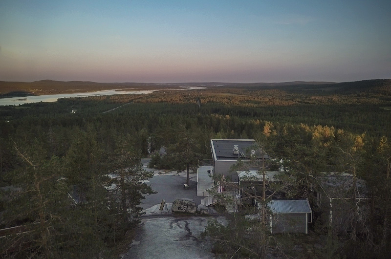
The Luppio mountain (Lupppioberget), located about 10 km south of Övertorneå, is partly known for the view, and partly for the Sauna Ballet – a TV programme that told the story of a group of men from the Torne River Valley who were taught how to dance ballet in a sauna. A road lets you drive up the mountain, which is 193 metres high. The view of parts of the river valley is splendid.
How to get here: Signs from road 99 just south of Övertorneå.
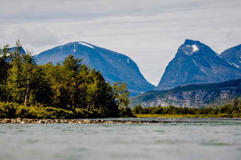
Kebnekaise/Giebmegáisi is Sweden’s highest mountain. The mountain massif is made up of two peaks: the South Peak and the North Peak. The South Peak was Sweden’s highest point for a long time, but in 2019 it lost its crown to the North peak due to melting ice. It is about 9 km one way to the peak, and it takes around 10–14 hours. The total climb from the mountain station is about 1,800 metres. Climbing Kebnekaise is a demanding challenge, and the weather on the mountain can change abruptly. The recommendation is that children participating should be at least 10–12 years old to manage the difficulties and for them to have a positive experience when climbing.
How to get here: From Nikkaluokta, there is an 18-km hike (with boat transport available for five of those kilometres) to Kebnekaise mountain station. The ascent begins at the mountain station.
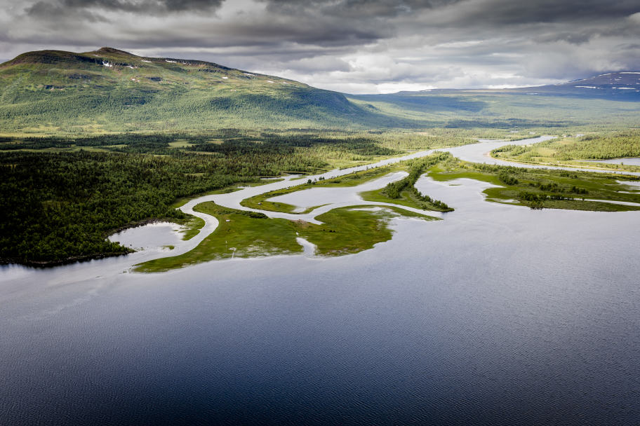
Top of Arjeplog is a hiking concept that has been organised in Arjeplog for several years. It is designed as a challenge, and every year ten mountain peaks are selected within the municipality. All those who visit at least five of them during the hiking season participate in a lottery with great prizes to be won. You can also climb the chosen peaks without taking part in the competition, of course, and some days hikes are organised with a snack for all those who participate. Perhaps it is true as they say, that the mountains Áhkális, Nuortabuouda, Bårggå, Veälbmábuova, Stiephaltjåhkkå, Gibdnotjåhkkå, Gautoberget, Alep Iksják, Stor-Ståhkkhe, Dádjábakkte, Årjep Sávllo, Svájppá, Stájggà, Tjidtjákgájsse and Strajtastjåhkkå are more difficult to spell than to climb. topofarjeplog.org
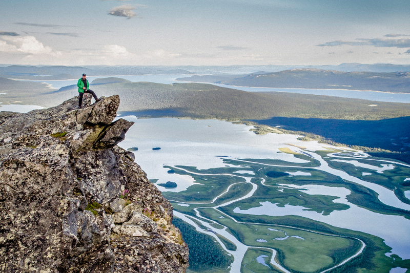
Skierfe is a spectacular peak on the northern side of the Rapa Delta with a fantastic view of Sarek National Park and other parts of the mountain world. The easiest way to reach Skierfe is to hike the path from the King’s Trail just north of Aktse. If you are heading into Sarek, you can continue from here, finding your way down into the Rapa Valley beyond Skierfe. It is about 7.5 kilometres one way from the Aktse cabin to the top of Skierfe, a total vertical climb of some 770 metres. Skierfe is located right on the border to Sarek National Park.
How to get here: Make a detour as you hike the King’s Trail. Aktse can be reached from the King’s Trail or from the bridge across the Sito river – Sitoälvsbron – hike to the boat landing, then go by boat from there to the cabin, or hike the path along the lake.
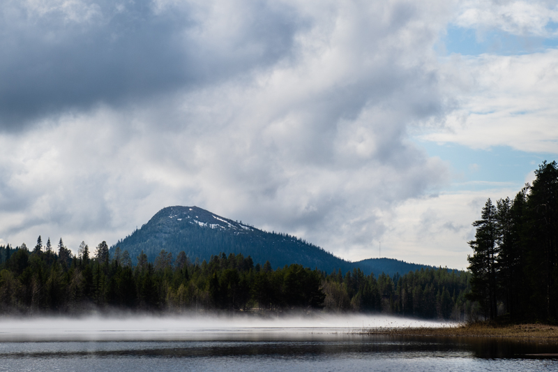
Jan-Svensamössan is a mountain just next to Avaviken, on the southernmost part of lake Storavan between Arvidsjaur and Slagnäs. The Sámi name for the mountain is Suddale, which means ‘ice-free early’, or ‘thaw’. You can see far in all directions from the top, a view of forests, low mountains, marshes and lakes that is breath-taking. The path to the top is lined with hundred-year-old pines. The highest peak is next to a bare mountain and features true alpine plants, such as alpine bearberry and alpine azalea, common heather and black crowberry. The name ‘Jan-Svensamössan’ (Jan Svensa’s hat) is said to come from a story about the settler Jan Svensson in Avaviken. The story goes that on a Midsummer’s Eve in the early 19th century, he forgot his sheepskin cap on the top of Jan-Svensamössan. The area is an easily accessible nature reserve.
How to get here: Signposted road off Route 45, just over 2 km west of Avaviken.
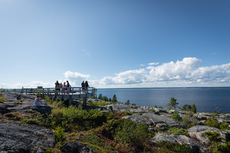
Bjuröklubb consists of smooth stone slabs and large fields of pebbles. Windblown, knotty pine and spruce grow in between the rocks. Along the beaches is an edge of alder. Sand dunes, beaches, cliffs and the open sea at Bjuröklubb make it similar to the open landscape of the mountain meadows in many ways. The lighthouse was built in 1859 and was manned up until 1970. Bjuröklubb has also been an important pilot site, with the old pilot port now serving as a guest harbour for recreational boats. A wooden ramp leads from the parking lot to the lighthouse, and signs along the ramp tell the story about the nature and history of the reserve. There is also a café near the car park in summer.
How to get here: From the E4, follow signs from Lövånger, or other places along the way.